
Have you ever seen a man in a hardhat standing by the side of the road or on a property with a tripod and a strange-looking stick? If that was the case, you were undoubtedly curious as to what that person was up to. Now you don’t have to wonder any longer. That person was most certainly a land surveyor, and he or she was most likely using sophisticated surveying equipment to take a number of precise measurements to identify the exact location of property boundary lines. Land surveyors generate maps and measurements of land using high-tech equipment and good old-fashioned math. If you’re wondering why such a service is required, you might be astonished to learn that practically every real estate development project starts with a survey. Here’s all you need to know about this crucial service.
9+ Land Survey Report Samples
You can comprehend your land limits with the help of land surveying. A survey is carried out to locate, characterize, monument, and map a parcel of land’s bounds and corners. It could also contain the parcel’s terrain, as well as the position of buildings and other improvements. Professional land surveyors are taught to work out and define property boundaries using a complex combination of law, math, engineering, and physics. To accomplish the survey, they use specialized equipment such as GPSs, prisms, software, radios, and robotic total stations. Only professional land surveyors certified by the Ohio Engineers and Surveyors Board are allowed to conduct land surveys in Ohio.
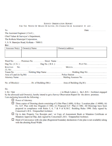
1. Land Survey Observation Report
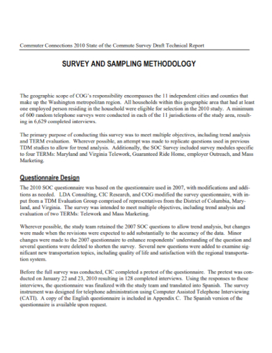
2. Land Survey Technical Report
3. Land Status Survey Report
4. Land Boundary Survey Report Format

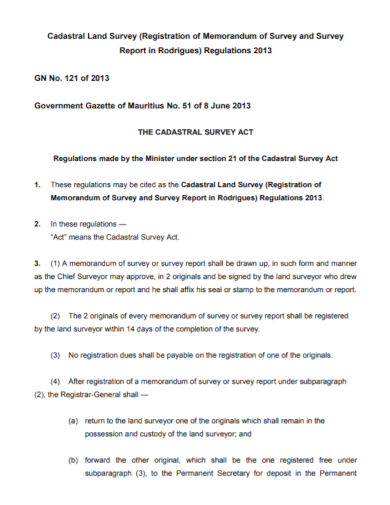
5. Land Memorandum Survey Report
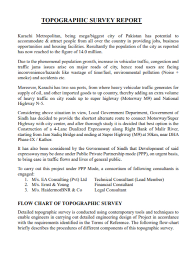
6. Land Topographic Survey Report
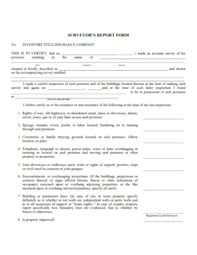
7. Land Surveyor Report Form
8. Land Geophysical Survey Report

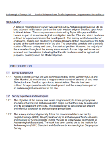
9. Land Magnetometer Survey Report
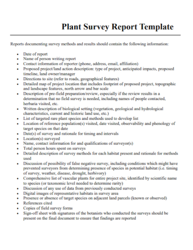
10. Land Plant Survey Report
Process
Depending on the type of surveying they undertake, land surveyors may use significantly different procedures. Here’s a quick rundown of the many sorts of land surveyors and the basic techniques they use to conduct their jobs:
Construction or Engineering Surveyors: These surveyors look for changes in property lines and pinpoint the exact position of buildings and roadways. They may also assess the topography and grade of a road or establish the proper foundation depth for a construction.
Geodetic surveyor: A geodetic surveyor is a surveyor who employs satellite and aerial photography to measure very vast areas of the ground.
Boundary or Land Surveyors: This type of surveyor is responsible for finding the precise location of suitable lines.
There are additional varieties as well, but these are the most popular. Surveyors are supposed to stand behind their job and produce accurate data. Land surveyor instruments, on the other hand, make it easy for these specialists to have great trust in their estimations.
According to the Bureau of Labor Statistics, demand for surveyors is predicted to increase by more than 10% between 2016 and 2026. Surveyors who work for engineering or architectural businesses earn around $60,000 per year, whereas government contractors earn around $70,000. If you want to pursue this professional path, you’ll need to complete the necessary training and education. A theodolite and a level (sight level, laser level, and/or water level) are among the survey instruments you’ll require. A theodolite is a surveying equipment that measures vertical and horizontal angles between two sites. Distance can also be calculated with advanced theodolites.
FAQs
Why have a land surveyed?
You can have your property surveyed at any time as a property owner, but you’ll most usually engage a surveyor while you’re buying a home or building something. A Mortgage Location Survey is a survey ordered for property transfer in Ohio, and it observes its own set of rules defined by the state. Even if you have no plans to build on the property, you should get the land surveyed so you know exactly where your ownership borders are; you’ll know what’s yours and what’s not. A Boundary Survey will outline the exact borders of your property, whether natural or artificial, in a written document.
What is a topographic survey?
A topographic survey entails taking measurements in the field and drawing up a plan to determine land elevations. A residential or commercial property owner will often hire these surveys before making modifications to the property, such as additions, landscaping, or parking lots.
If you want to see more samples and formats, check out some land survey report samples and templates provided in the article for your reference.
Related Posts
School Accomplishment Report Samples & Templates
Field Report Samples & Templates
Sample Science Project Reports
Business Report Samples & Templates
Survey Reports Samples & Templates
Sample Feasibility Reports
Psychological Assessment Report Samples [ Clinical, Child, Intake ]
Report Format Samples & Templates
Acknowledgement for Internship Report Samples [ Hotel, Hospital, Teaching ]
Field Trip Report Samples [ Agriculture, Educational, Environmental ]
Student Counseling Report Samples
Narrative Accomplishment Report Samples [ Science, Teacher, Reading ]
Sample Acknowledgment Report Templates
Internship Narrative Report Samples
Interview Summary Report Samples